The Real World Design Challenge (RWDC) is an annual competition involving aeronautical engineering and agriculture. This year’s challenge was to design an unmanned aircraft system to detect moisture in a field for a crop of regional importance.
The Arkansas team, Cindy Ye and Evalyn Berleant, chose to focus on soybean and corn crops because Arkansas is a leading producer in both crops. This made them eligible to enter in the Soybean Science Challenge.
Although they did not win the Soybean Science Challenge Award, their project caught the eye of Ms. Karen Ballard, Ms. Lynda Wilson, and the Soybean Challenge judges. This led to their decision to sponsor the team to compete in the national competition in Washington, D.C., where they won the Against All Odds award.
“RWDC has been an amazing experience and I am so grateful to the Soybean Science Challenge for sponsoring us. I’ve learned so much about agriculture and business. Because of the competition, I pushed myself to learn skills like CAD, which I might never have approached otherwise," said Evalyn Berleant.
“Being a part of RWDC the past few years has vastly expanded my appreciation for engineering and agriculture. I have been able to meet people with similar interests and aspirations as me, and I have learned a lot about leadership and teamwork. Without the help of the Soybean Science Challenge, this would not have been possible, and I am extremely grateful," said Cindy Ye.
Cindy Ye and Evalyn Berleant – Little Rock Central High School – 2016 Real World Design Competition
Category: Environmental Science
Project Title: Moisture Detection in Precision Agriculture with the Use of Unmanned Aircraft Systems
Abstract: The goal of this project was to design a remote sensing system with an unmanned aerial vehicle (UAV), an imaging camera, and a ground station to detect moisture levels in a soybean field. This would allow farmers to conserve water. The final design used a fixed-wing pusher propeller UAV operating autonomously except in the case of emergencies, in which a ground station would allow for manual control. It used a visible and near infrared camera that would transmit data to the ground station in real time. Building on a model used in previous studies, the camera was calibrated to obtain absolute values of moisture level using 16 ground sensors per square mile spaced evenly throughout the field. The flight path entailed the UAV starting from the southwest corner of the field and moving north until it passed the north edge of the field. It would fly outside of the field before turning east so it would not lose field coverage during the turn. After flying a distance, it would turn south and move vertically across the field again. Then, it would turn west outside of the field and fly in another identical loop, shifted east, continuing until the entire field was covered. Flying at an altitude of 330 feet and speed of 0.0081 mi/s, the UAV would spend 0.791 hours per square mile. With this efficient moisture detection system, farmers would be able to maximize crop yield, save resources, and reduce environmental impact.
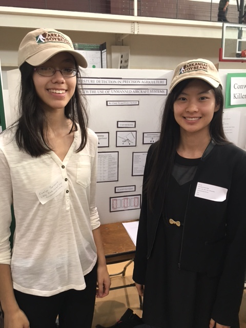
Left to right: Cindy Ye and Evalyn Berleant